Cruagh Wood
Overview
Situated to the south of Dublin city Cruagh or Coill Na Craobhai is one of three mountain summits (Kilakee & Glendoo the others) identified as such on OS maps though it differs little in altitude from its immediate surroundings. At its highest point it is some 522m above sea level and offers probably the best views (weather permitting) over Dublin city and surroundings which lies in the flat plain below.
The earliest mention of Cruagh in historical records is in 1184 when Prince John, son of Henry II granted Creevagh or Cruagh with its churches to the See of Dublin, a gift successively confirmed by Edward III in 1337 and by Richard II during his visit to Dublin in 1395.
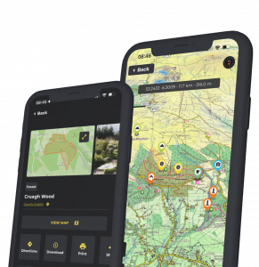
Coillte have partnered with HiiKER and you can download the app with detailed information on Cruagh Wood at this link HiiKER App Cruagh Wood
Things to do
Walk: There is a looped walking trail and mountain access route in the wood leading to the summit and beyond. The Dublin Mountains Way also runs through Cruagh. The Slí na Slainte Trail (5kms, 1hrs, moderate) is a gentle walk along the forest roads and through the trees - half way along there are two benches to break the journey; have a sit down here for a well earned rest and take in the views of Tibradden across the valley.
Visitors Facilities on site
 Download the HiiKER Walking Guide here
Find maps, hiking routes, things to do and information on Coillte initiatives 
HiiKER App
Car Park 35 spaces
Car park opens at 7am (April to September) and 8am (October to March)
Car park closes at 9pm (April to September) and 5pm (October to March)